
More Features
From critical airspace alerts to comprehensive post-event analysis, FlightHorizon ALERT handles a wide range of security and operational needs.
Detect
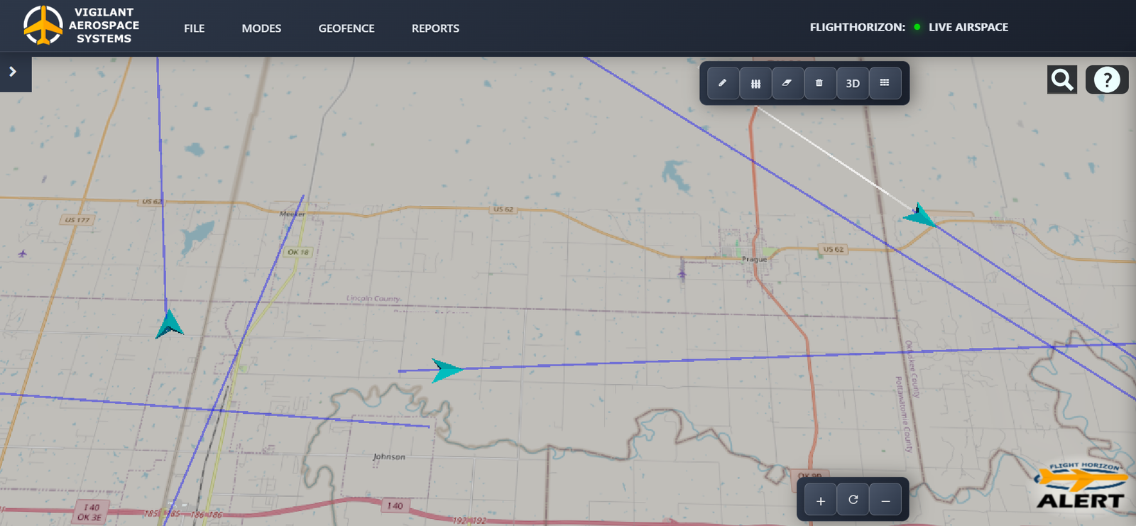
FlightHorizon ALERT continuously provides passive local airspace awareness with no active sensors, and displays detected aircraft and drones on an interactive live map. Maintain situational awareness near runways, approach paths, ramps, perimeters, and low-altitude operational areas.
Alert
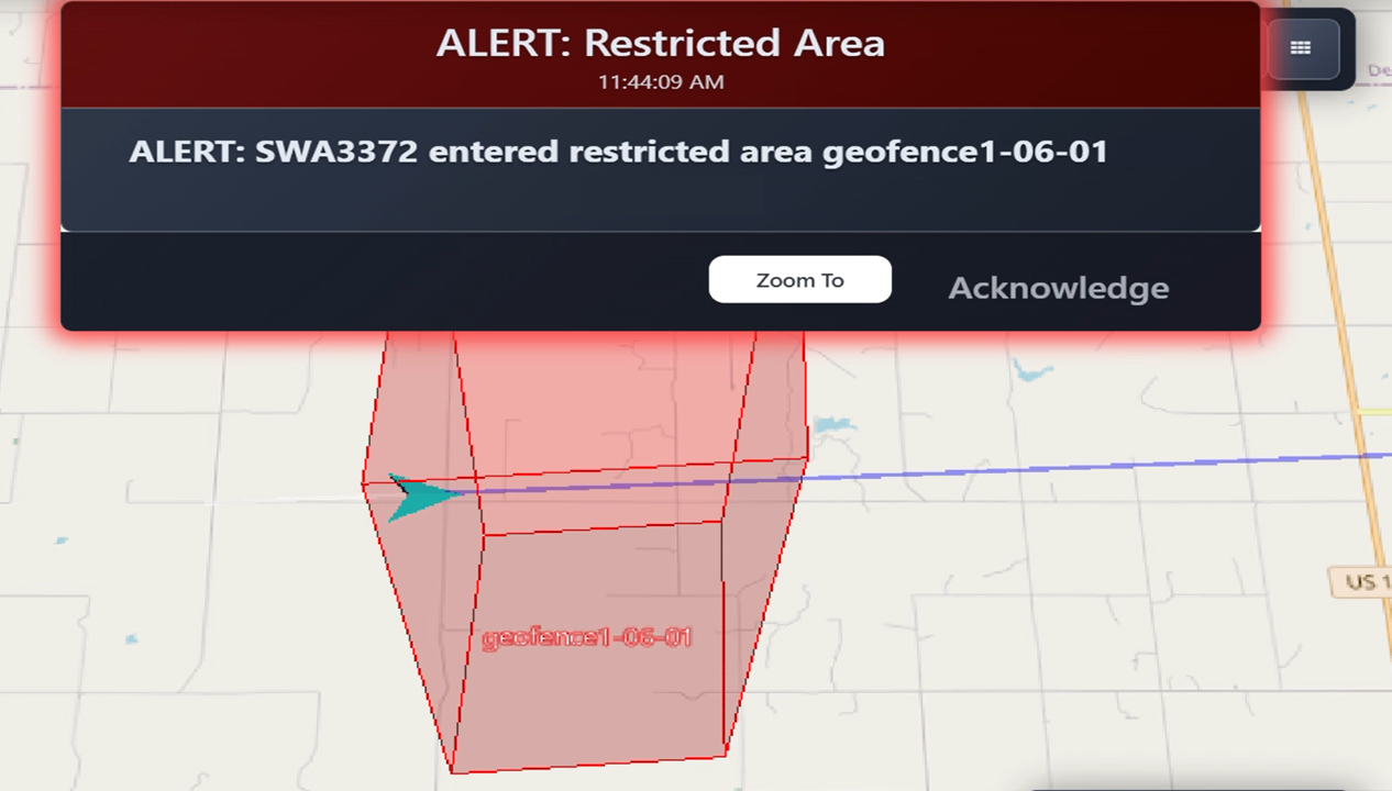
When aircraft or drones enter a monitored area, the platform sends notifications automatically. Alerts can be delivered on-screen, audibly, by email, or via SMS so you can respond quickly without constantly watching the dashboard.
Know
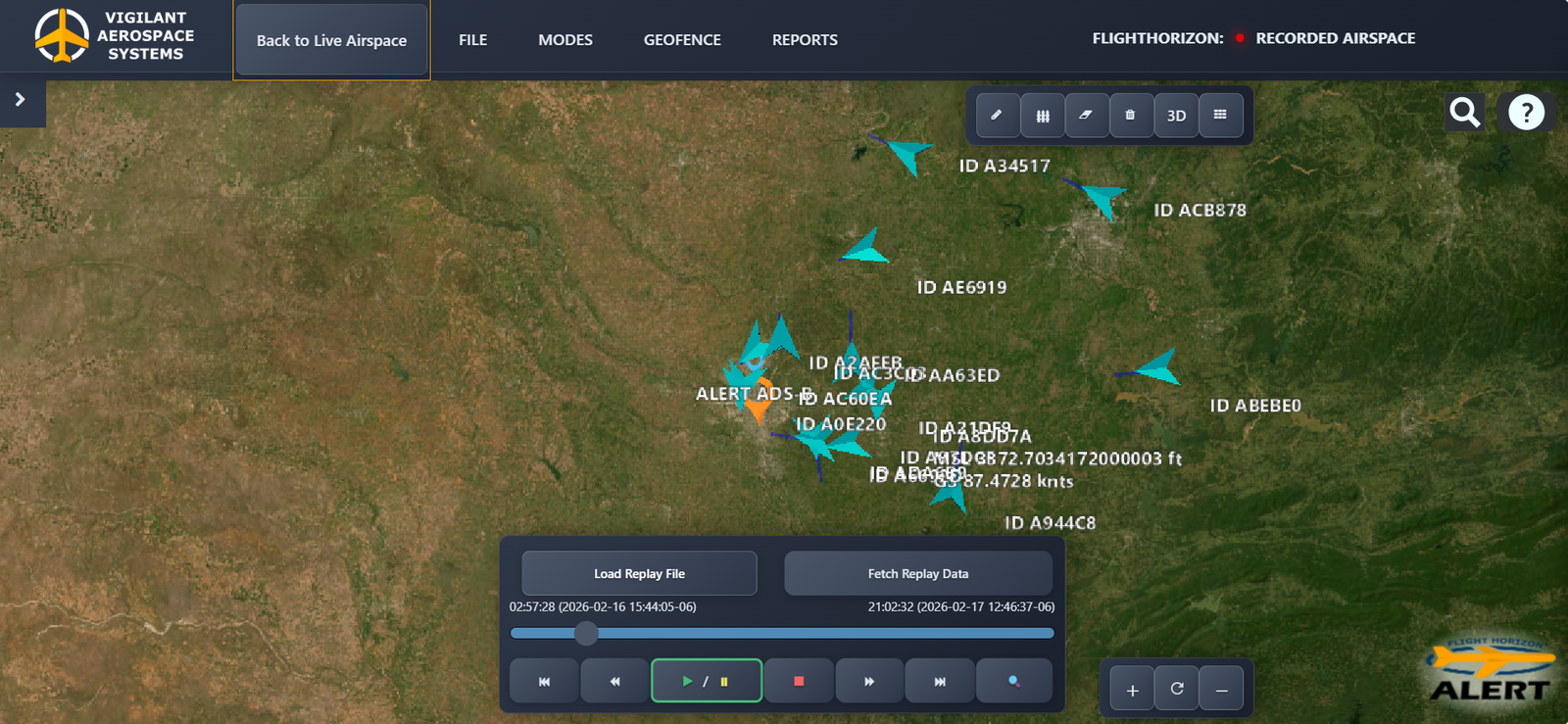
With one click, review the historical aircraft or drone track, see where it crossed a monitored boundary, and evaluate how the event unfolded. Because the system replays the same logged track data used for reporting and CSV export, you get a one-to-one view of the event, even if it happened only seconds ago.
Feature List
| Feature | Description | Practical Use |
|---|---|---|
Live Airspace View | Live targets and monitored areas displayed together on a clear, map-based view | Real-time situational awareness |
Instant Notifications | Automated on-screen and SMS alerts when activity crosses a monitored boundary | Timely response without constant screen monitoring |
Configurable Alert Behavior | Adjustable severity levels, notification thresholds, entry and exit triggers, repeat-event escalation, and SMS quiet periods | Alerting tailored to site and team requirements |
Alert Workflow Management | Tools to acknowledge, resolve, filter, or clear alerts in batches | Organized and efficient alert response |
Alert-Linked Event Replay | Direct replay access showing a target's entry and exit path and related event details | Immediate understanding of what happened |
Historical Playback Controls | Live and historical views with scrubbing, playback speed controls, and adjustable time windows | Flexible review of airspace activity |
Extended Replay History | Access to up to eight weeks of replay history based on the current retention setting | Longer-term event analysis and documentation |
Projected Target Trails | Projected target movement extending up to 15 minutes | Earlier awareness of developing activity |
Polygon and Circular Zones | Precise polygon zones and organization-centered circular zones | Monitoring areas matched to real-world site boundaries |
Altitude-Based Zone Rules | Open-ended limits, minimums, maximums, and defined altitude bands | Monitoring focused on relevant altitude ranges |
Airport-Oriented Zones | Purpose-built airport zone defaults with a dedicated geofence overview | Faster configuration for airport environments |
Alert Zone Analytics | Total incursion counts and available detection-source details | Simplified safety trend reporting and risk profiling |
Target Classification Filters | Controls to show or hide targets by classification | Reduced screen clutter and greater focus |
Configurable Map Detail | Adjustable labels, units, terrain-aware visibility, and per-target information | Clearer views for different users and mission needs |
Target Navigation Controls | Target lists, leader lines, click-to-focus controls, and a configurable Home view | Faster access to important target information |
Customizable Workspace | Configurable toolbars, sidebars, high-contrast presentation, and target movement controls | A clearer interface adapted to each user |
Software-Based Sensor Integration | Sensor visibility controls, configurable live locations, and data ingestion through an application programming interface (API) | Expanded access to relevant airspace data |
Multi-Sensor Correlation | Configurable rules that combine observations from multiple sensors | Greater context and confidence for each event |
Data Sovereignty | Secure cloud-hosted or local on-premise deployment | Supports internal corporate, airport, municipal, or infrastructure IT requirements |
Exportable Track Logs | Time-aligned CSV data downloads | Supports compliance documentation, analysis, and system integration |
Multi-Unit Networking | Connect and monitor multiple detection units | Unified single-pane view for larger sites or regional footprints |
Role-Based Access | Viewer, Operator, Admin, and Super Admin permission levels | Access aligned with each user's responsibilities |
Organization and User Management | Centralized administrative views for managing organizations and users | Scalable administration as teams grow |
System Audit History | System-wide activity records with filters by entity or category | Improved accountability and administrative review |
System Health Monitoring | Administrative visibility into system performance and overall health | Maintenance awareness and system confidence |
Real World Uses
Airports and Airfields
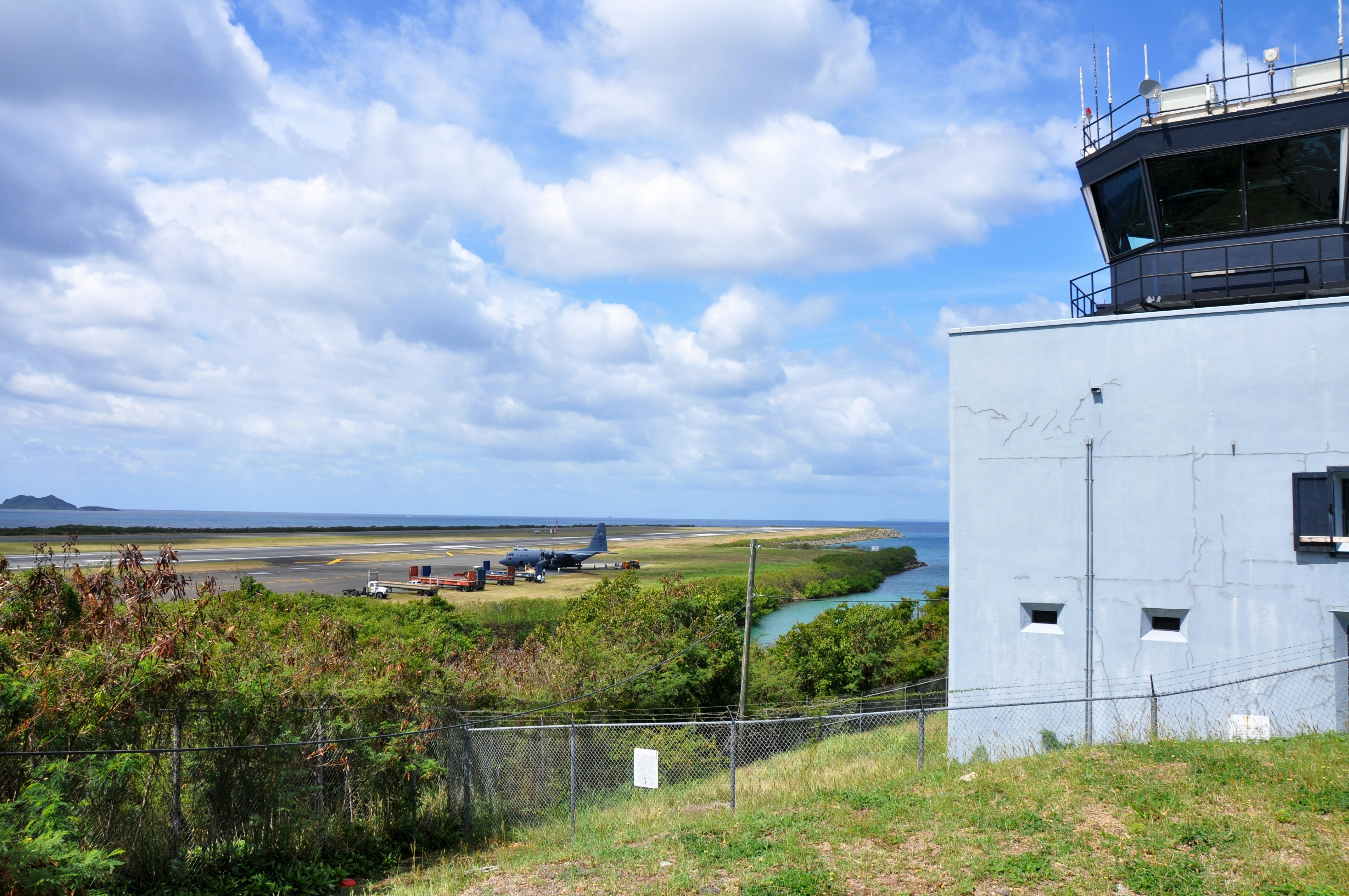
Monitor activity around runways, approach paths, ramps, and airport boundaries. Improve situational awareness, document incidents with reliable logs, and prepare for a future with higher-density commercial drone activity near airport environments.

Commercial UAS Operators
Monitor nearby cooperative traffic during flights, review airspace events after they happen, and maintain records for safety, waiver support, operational planning, and expanded BVLOS safety cases.
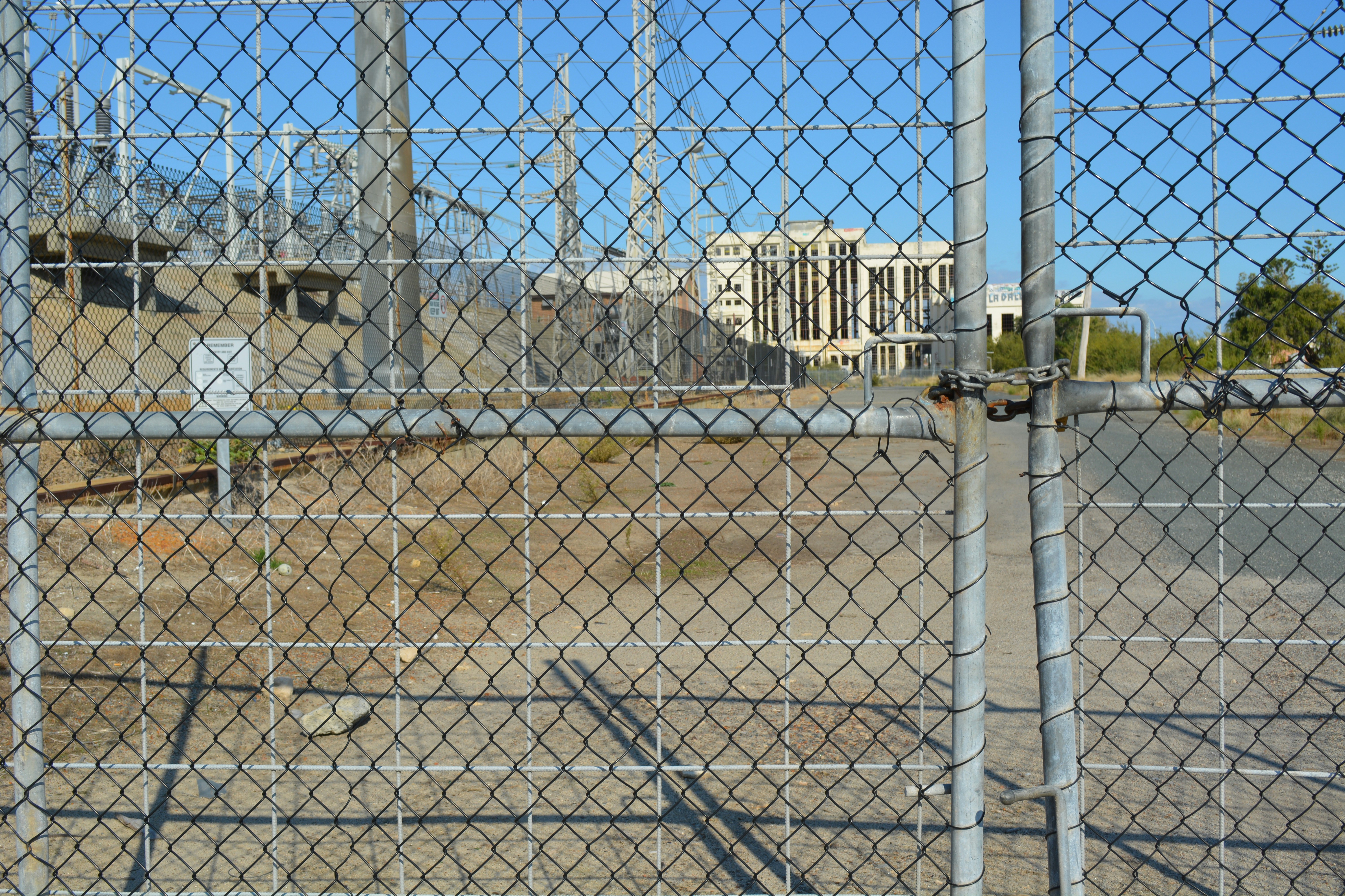
Critical Infrastructure
Detect and document aerial activity near sensitive utility facilities, industrial campuses, and transportation assets where low-altitude visibility is critical.
Ready to get started?
Subscribe to FlightHorizon ALERT and start monitoring your airspace today.
Get Started